
TECH NEWS
Small and medium-sized businesses (SMBs) are a major part of Los Angeles’ vibrancy, and they’ve faced immense challenges since the January wildfires. To help, Google is providing more than $4.5 million in funding to support SMBs through the Los Angeles County Department of Economic Opportunity (DEO) and TMC Community Capital.
Recovery means building for a stronger future, not just rebuilding what was lost. Google hosted the Rebuild LA: Small Business Tech Fair with LA County DEO and TMC Community Capital to provide entrepreneurs with the AI tools and digital skills they need to reconnect with customers, modernize operations and be better prepared for future challenges.
This is all part of Google, YouTube and Google.org’s $15 million to organizations providing relief in greater LA — a commitment sustained by directly supporting communities that are at the heart of the city, from students and teachers to most recently the creative industry.

More About Wildfire Recovery Efforts
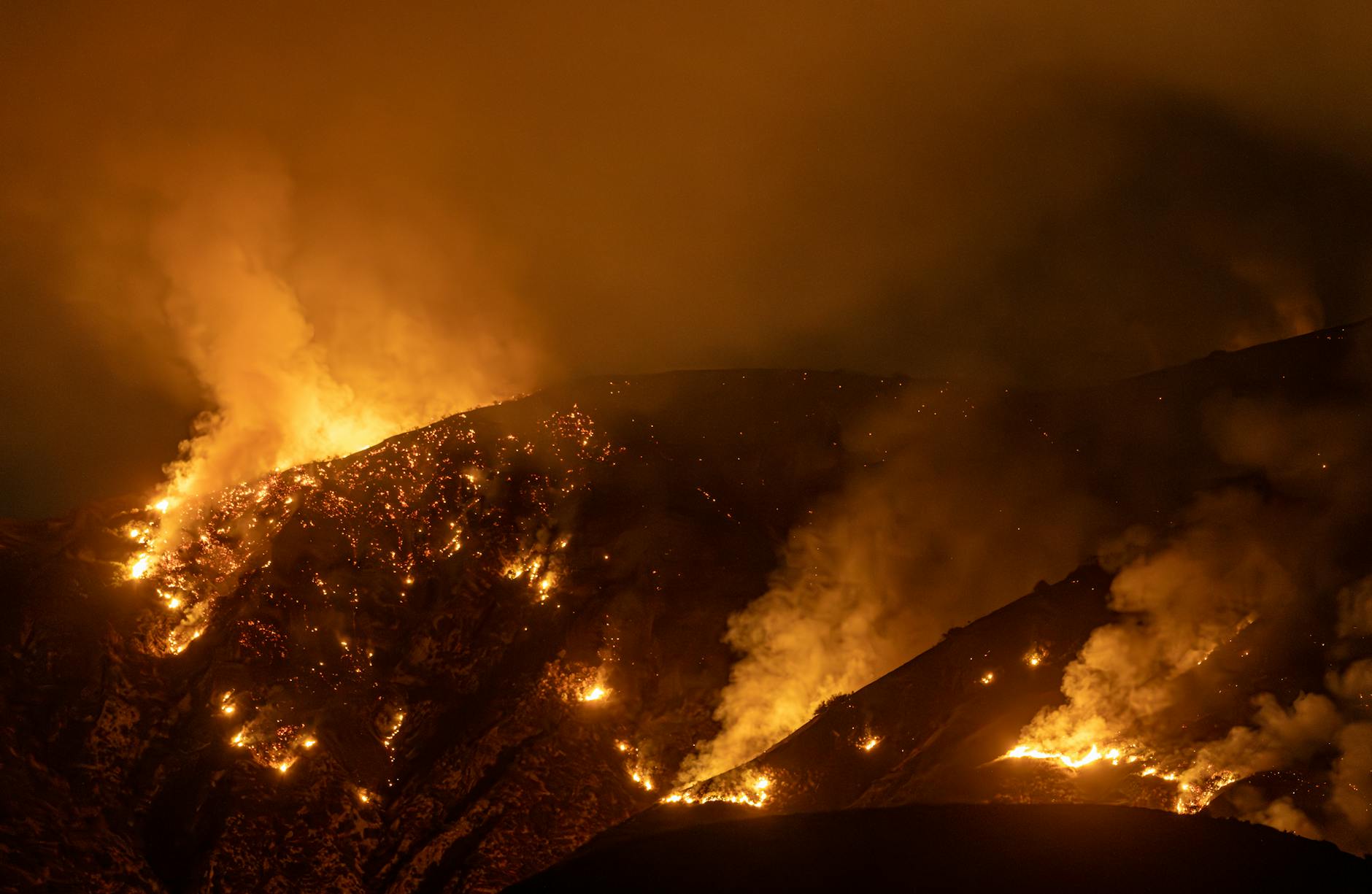
Google Earth also helps with wildfire recovery by providing tools for burn severity mapping and access to satellite imagery, which can be used to assess areas affected by fires. It also allows users to analyze data over time, improving understanding and response to wildfire events.
Google Earth is a virtual mapping application developed by Google launched on June 11, 2001 that displays detailed satellite imagery of locations on Earth, as well as maps of the sky, moon, and Mars. It allows users to explore and visualize the world in 3D, offering features like zooming, rotating, and overlaying various data layers.
Use of Google Earth like technology for this purpose has been going on since 2012 when in partnership with the Department of Interior’s Bureau of Land Management, Idaho State University (ISU) and NASA scientists built and evaluated a computerized decision support system that was an automatically deployable, site-specific multi-criteria decision aid. It brought together in a single application the information necessary, in the form of multi-layered GIS maps, for Burned Area Emergency Response (BAER) teams to implement reseeding strategies and monitor ecosystem recovery in the aftermath of wildfires.
“We assembled a tremendous number of GIS datasets that show characteristics like elevation, slope and if a specific area is a wetland or is used for grazing,” said Keith Weber, director of the ISU GIS Training and Research Project and principal investigator on the project. “We built up a library of data sets used to create on-line GIS maps, similar in some ways to Google Earth, for use by land managers giving them comprehensive, site-specific information about each fire.”
The NASA RECOVER (Rehabilitation Capability Convergence for Ecosystem Recovery) system, a post-wildfire decision support system, was initially developed in 2012 and has evolved through various stages. A beta version, RECOVER 1.0, was used between 2012 and 2019. The current version, RECOVER 2.0, is a cloud-based system that became available more recently. While the initial development started in 2012, it was significantly enhanced and made publicly available later, with a focus on providing rapid data acquisition and a common operational picture for fire managers.
About Keith Weber
Keith T. Weber, is the Director of the GIS Training and Research Center at Idaho State University (ISU). He has held this position since founding the center in 1998. In addition to his role as director, he is also involved in various research projects, including the NASA RECOVER wildfire decision support system and the NASA DEVELOP program at ISU.


Leave a comment